La Axarquía and Costa del Sol East · on the coast
Vélez-Málaga.
Know what a home here is worth.
See Vélez-Málaga as the records show it: 376 mapped neighbourhoods, 12 new developments and the facts behind any address. Start with an address.
Pay per report, or subscribe. Start with an address.
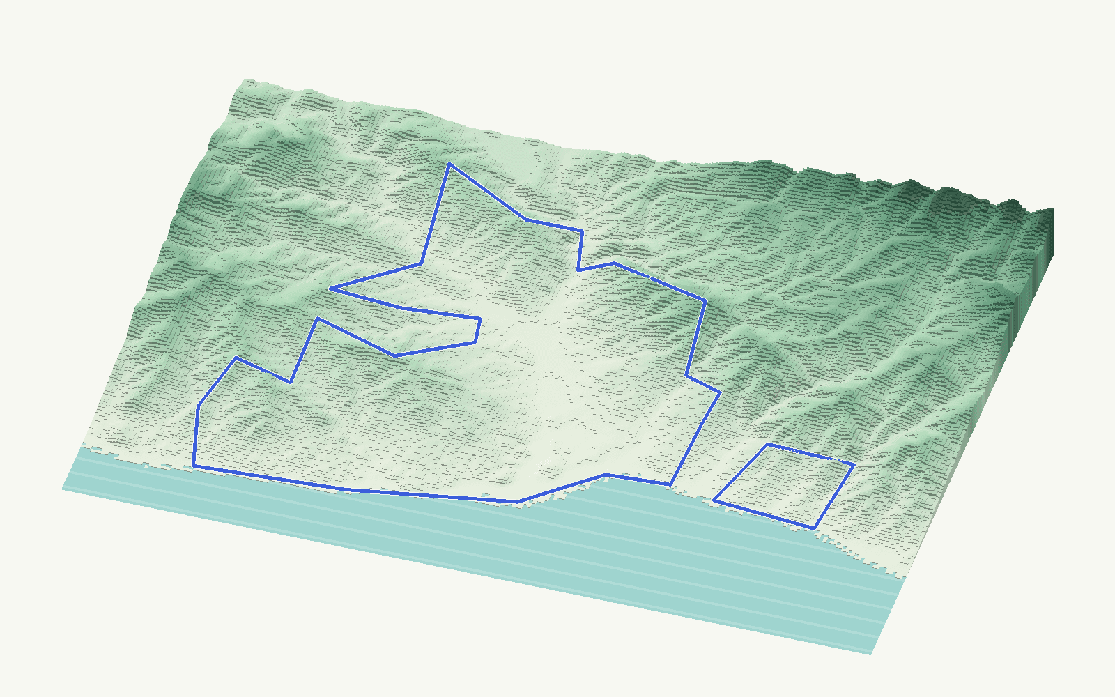
Neighbourhoods mapped376boundaries derived from land parcels
Buildings on the map24,557every building footprint, in 3D
New developments12301 homes listed by the developers
Where people look in Vélez-Málaga
The largest neighbourhoods, each with its own page.
Living in Vélez-Málaga
What serves a home day to day, from open public sources.
New developments in Vélez-Málaga
As the developers publish them on their portals, observed by Clavy: each development has its own page with the developer's images, stage and "from" price.

Inside your report
One property in Vélez-Málaga. The whole picture.
- Property facts from available public records
- A value range when the evidence supports one, never a single figure
- Local comparables and neighbourhood context
More detail
Open what you need; nothing here is a valuation.
Vélez-Málaga is a coastal municipality in La Axarquía and Costa del Sol East (La Axarquía, Málaga province), with the capital of the Axarquía with Torre del Mar and Caleta de Vélez on the coast and the Vélez river valley inland. Searches for Torre del Mar, Caleta de Vélez, Benajarafe, Chilches fall inside this municipality.
For Vélez-Málaga Clavy publishes 376 neighbourhood boundaries derived from land parcels, 12 new developments with 301 homes as the developers list them and a 3D model of every recorded building.
Asking prices observed on sale listings are read by subscribers as medians and middle halves by typology: asking prices, not sale prices, and every typology with fewer than five observed properties is suppressed. A property's own value is always published as a range with its uncertainty, never as a single figure.


